Skip To

  • Skip to content
  • Jump to navigation
  • Search
Globe

IE10 and below are not supported.

Google Chrome Mozilla Firefox

Contact us for any help on browser support

You are here:

  • Home
  • Drake Street Bike Path

Images

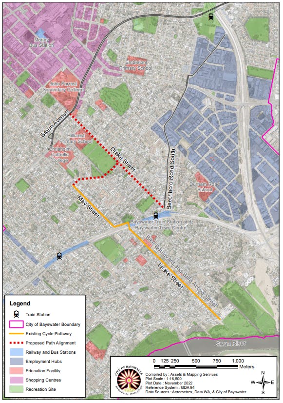
Map of the City's connectivity.PNG
previous next
An aerial view of the City's roads and infrastructure such as town centre, train stations, schools, etc. Coloured regions identify employment hubs, shopping and recreation sites. The current bike boulevard on Leake and May Streets is highlighted, along with the potential Drake Street connection, which would link the town centre all the way to the river.
Map of the City's connectivity.PNG
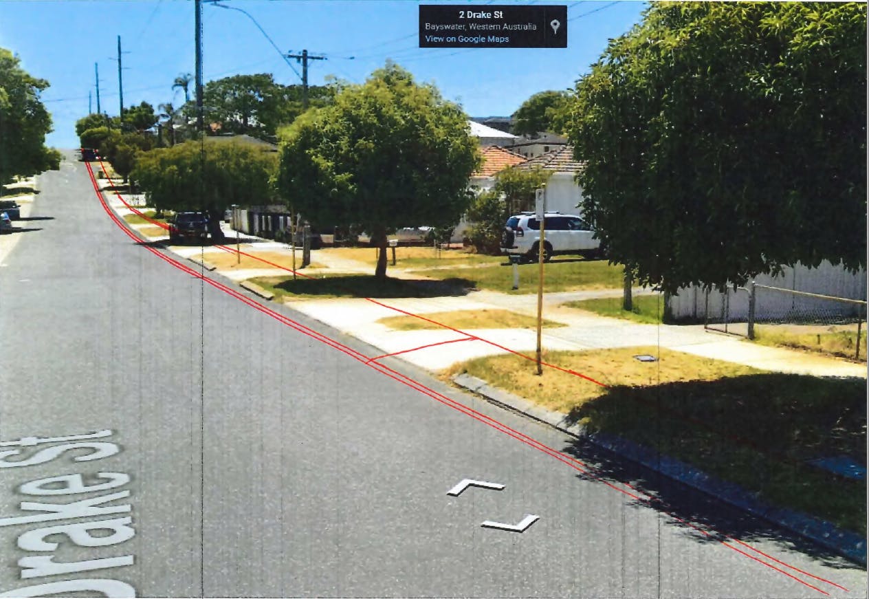
Projection of the path location from the Railway Parade end of Drake Street.PNG
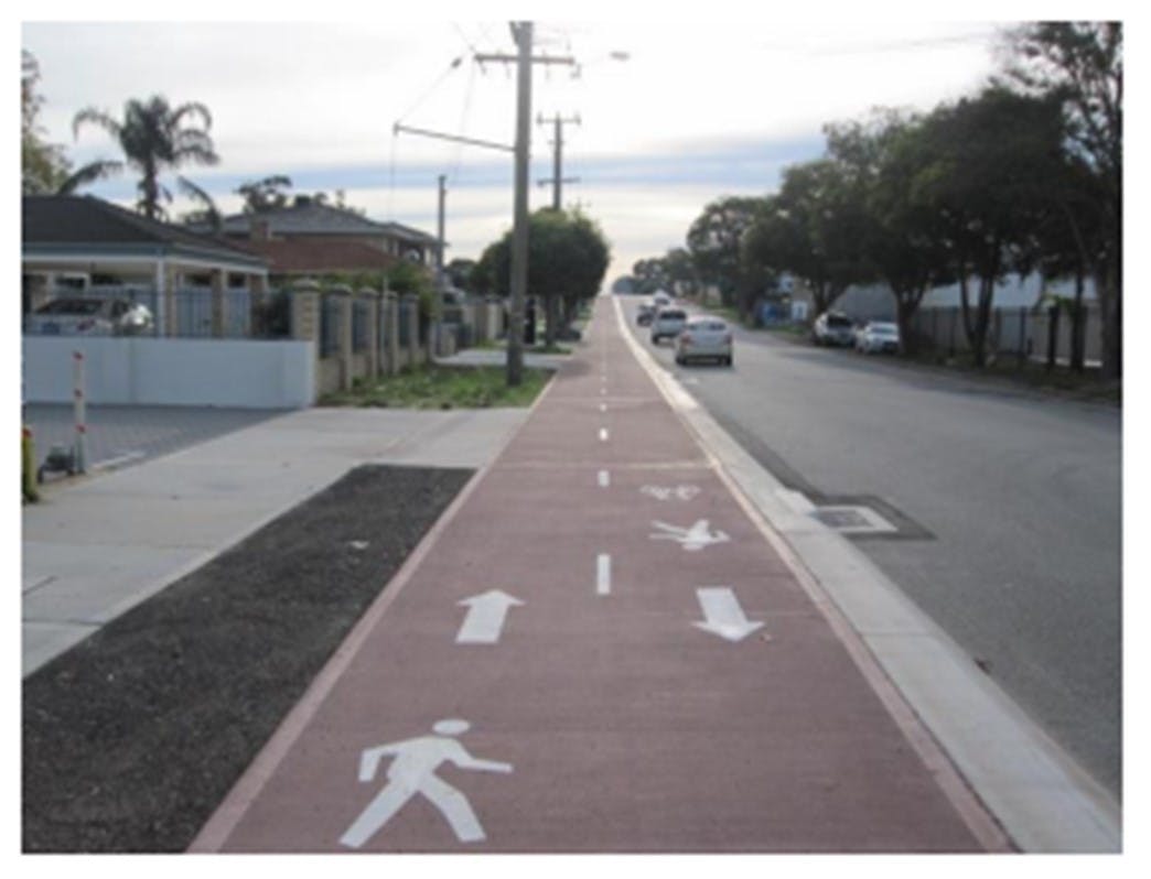
Example of a raised shared path. Some parts of the Drake Street bike path could look like this.jpg
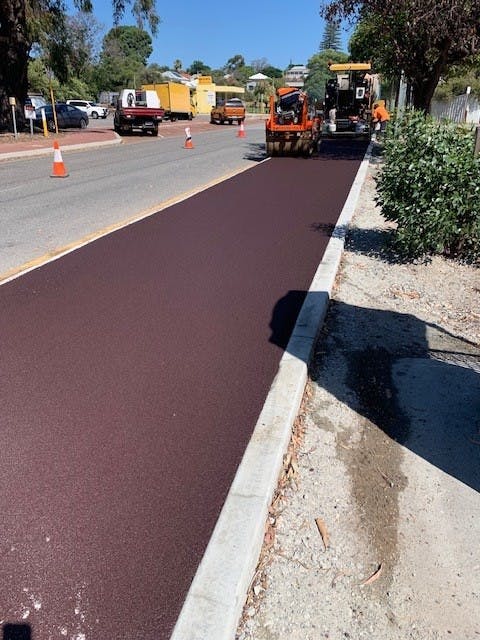
Laying of new red asphalt.jpg
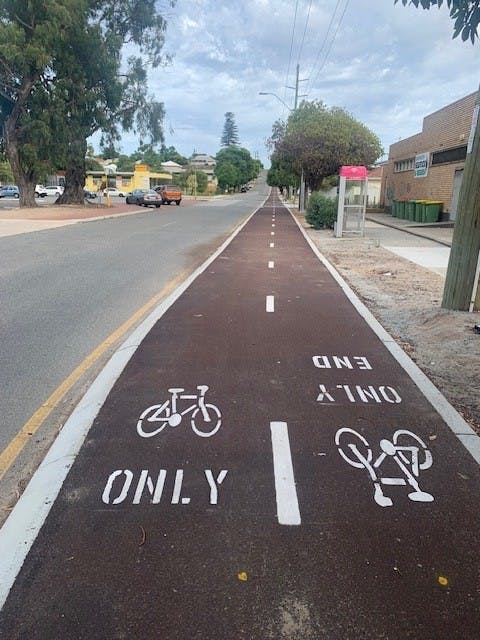
New line marking of bike path.jpg
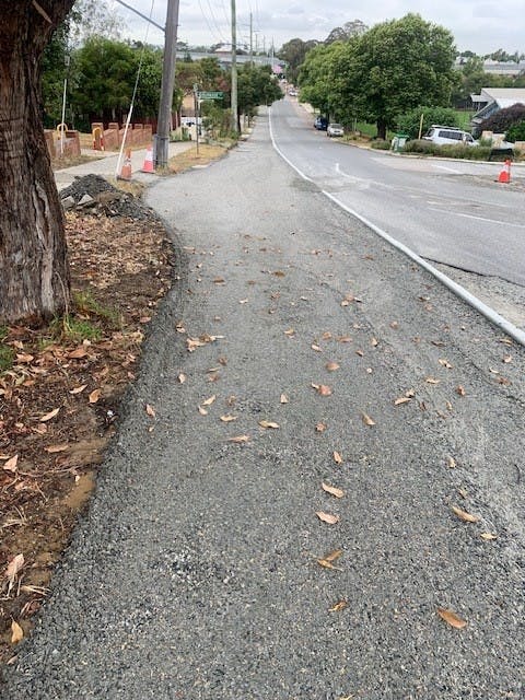
bike path under construction.jpg