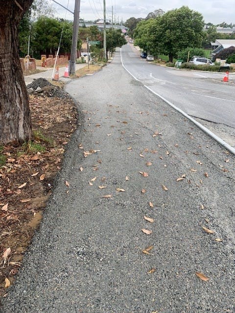
Photo Gallery
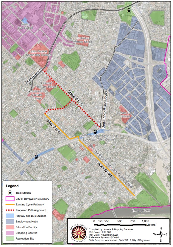
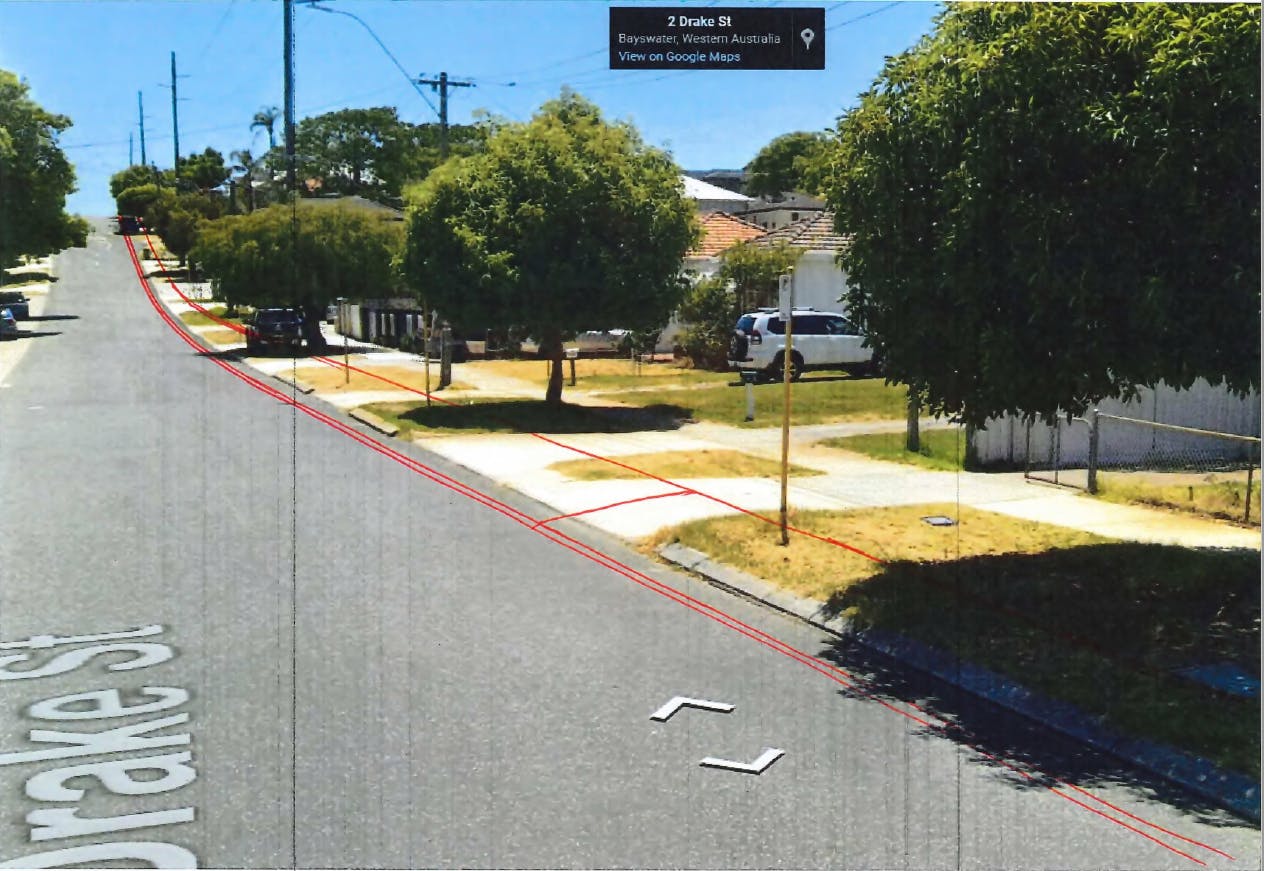
An aerial view of the City's roads and infrastructure such as town centre, train stations, schools, etc. Coloured regions identify employment hubs, shopping and recreation sites. The current bike boulevard on Leake and May Streets is highlighted, along with the potential Drake Street connection, which would link the town centre all the way to the river.