Local Bike Plan Review 2022
Consultation has concluded

Background
The City of Bayswater is reviewing its 2014 Local Bike Plan as significant City changes have taken place since then, including:
- Upgrades to the City's network, and new City projects creating cycling opportunities for the City.
- State government projects which have and will continue to impact the Principal State Network. Projects include Gateway, NorthLink, Forrestfield Airport Link, Tonkin Gap, Bayswater Train Station Redevelopment and Morley Ellenbrook Line (MEL),
- The development of a Long-Term Cycle Network (LTCN) in 2020, with recommendations on how to connect State facilities to the local network.
In partnership with the Department of Transport, with Western Australia Bicycle Network (WABN) funding, the City is reviewing its 2014 plan. The objective is to continue the vision set out in 2014, while ensuring the City's cycling network is comprehensive, interconnected and cycle friendly.
The aim is to provide a sustainable cycling network and infrastructure for a range of users, ultimately delivering a better cycling experience.
Community Engagement Phase 1
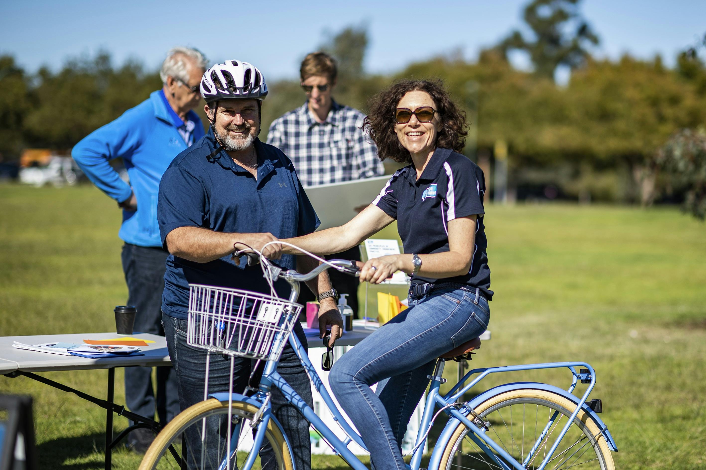
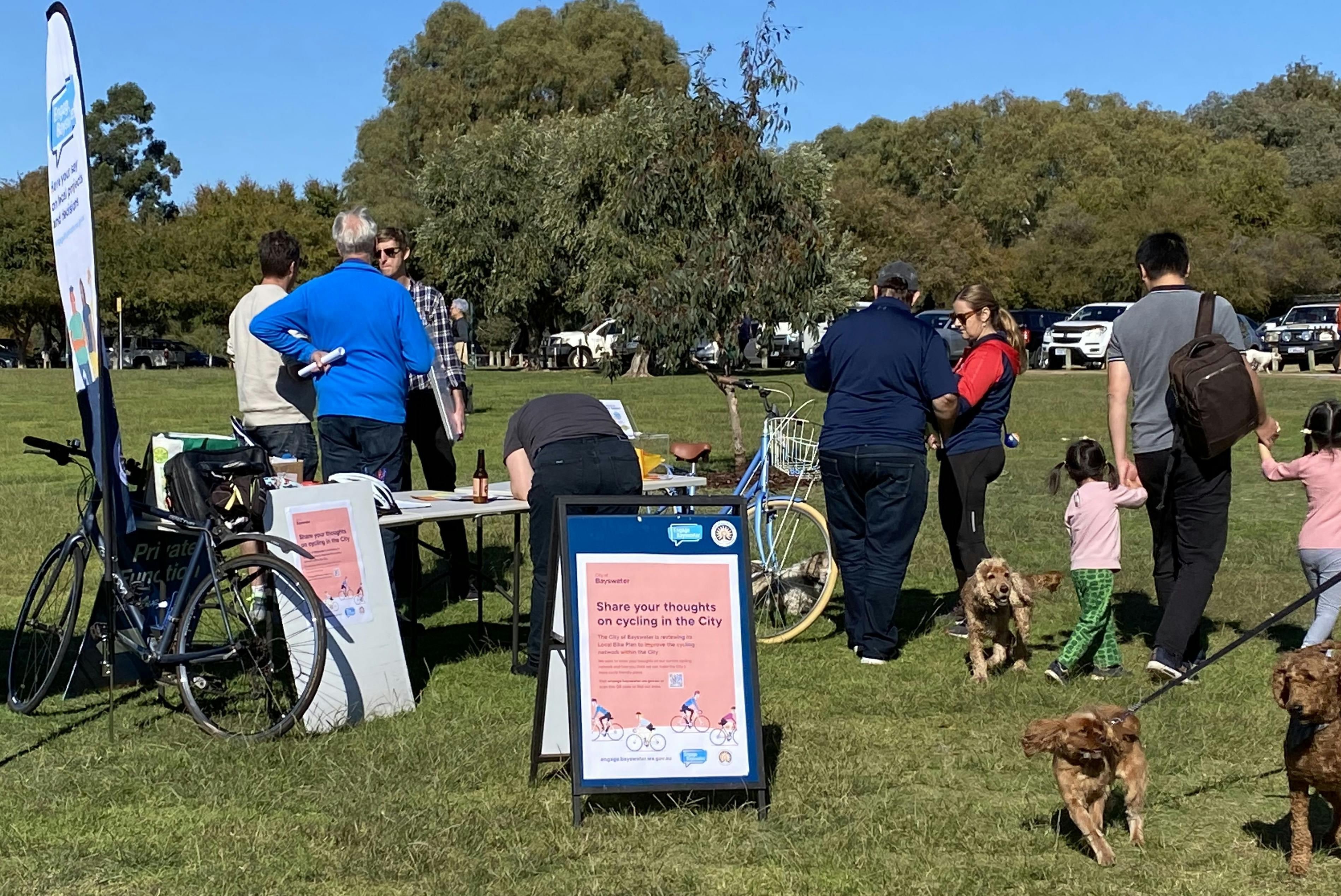
The City asked for feedback to understand how current cycling patterns/path are used by residents, workforce and visitors. The City conducted community consultation during May and June 2022 in the following ways: A survey, An interactive map and a face-to-face drop-in session. A total of 444 pins were dropped on the map, 383 surveys completed, and approximately 30 people attended the drop-in session. A summary of community feedback is available in the Outcomes Report.
How to get involved Phase 2
The consultant produced a Draft Plan which was open for public comment. An abridged version was available to download and contains recommendations, initiatives, projects to investigate, proposed locations for end-of-trip facilities and changes to the Long-Term Cycle Network.
To provide feedback you could: Complete the feedback form below, Upload your feedback in the form below, or write to the City via email to mail@bayswater.wa.gov.au or by mail addressed to the Chief Executive Officer City of Bayswater, PO Box 467, Morley 6943.
Hard copies were also available at the City's 3 libraries and the City of Bayswater Civic Centre.
Submissions closed 5pm on Thursday, 4 May 2023.
A summary of community feedback is available in the Outcomes Report.
What's next
Comments were reviewed and City officers prepared a report for presentation to the Ordinary Council Meeting in May 2023, which can be viewed here.
The Bayswater Bike Plan 2023 will provide the City with strategic focus for cycling within the City, extending further than the broader LTCN, and provide the connectivity to the activity centres. It contains 32 recommendations, 15 initiatives, four proposals to re-align the LTCN, 18 short-term priority infrastructure projects and seven short-term priority infrastructure projects requiring further investigation.

Documents
-
 Bayswater Bike Plan 2023 (16.7 MB) (pdf)
-
Abridged Version - Draft Bike Plan 2023 (218 KB) (pdf)
-
Draft Bayswater Bike Plan 2023 (3.74 MB) (pdf)
-
Community Engagement - Outcomes Report.docx (40.8 KB) (docx)
-
City of Bayswater Bike Plan 2014 (20.4 MB) (pdf)
-
OCM May 2023 Bayswater Item 10.3.1 LBP without Plan.pdf (1.44 MB) (pdf)
-
Outcomes report for Draft Bike Plan.docx (73 KB) (docx)